
VTOL & Drone Intelligence Operation
VTOL/UAV operations with specialized payloads for survey, surveillance and incident response.
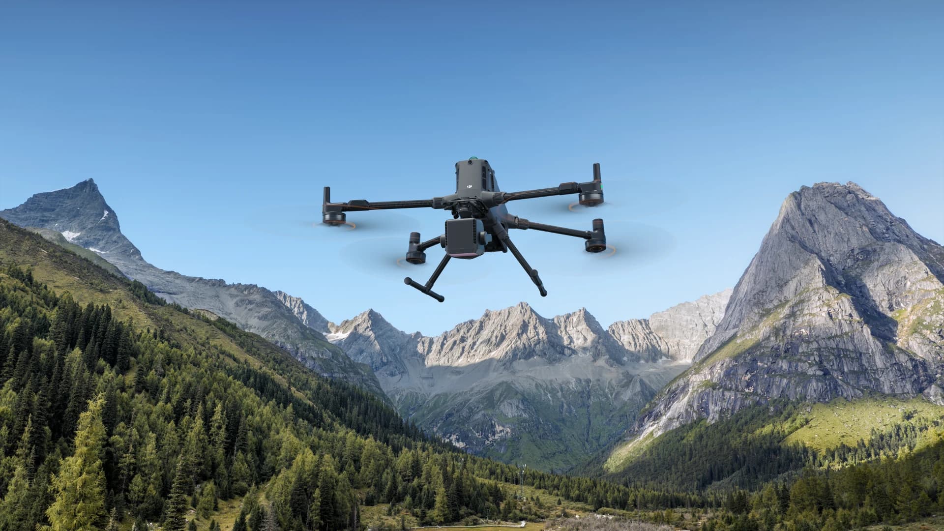
Bringing drone technology, AI and cloud systems together for efficient area management — designed for organizations, government agencies and industries that need real-time surveillance, data collection and decision-making.
100%
End-to-end Platform
24/7
Operation-ready
AI
Auto-detect events
GIS
Geo-tagged data
Core products
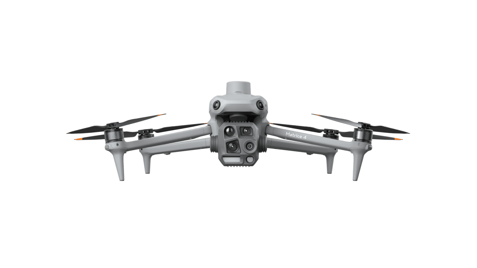
Multi-sensor compact drones for Mapping, Inspection & Security
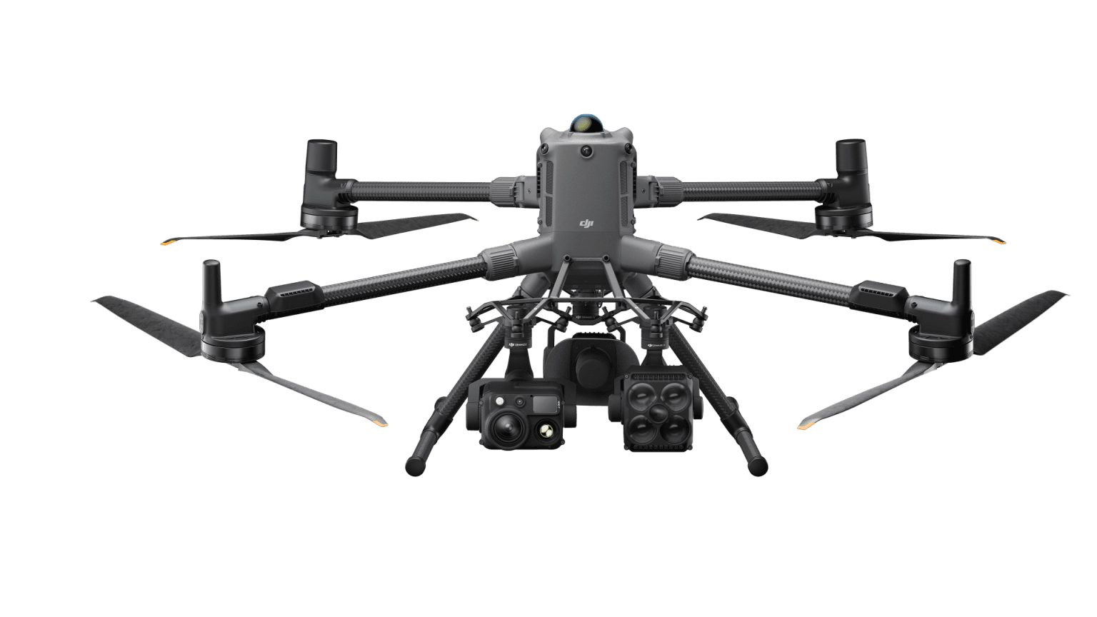
Heavy-payload platform with 59 min flight time and payloads up to 6 kg
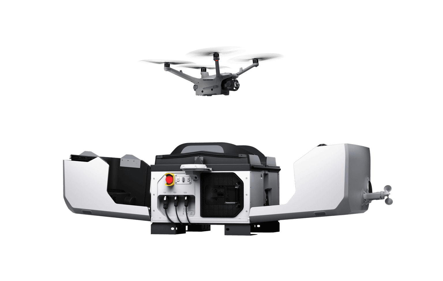
Mobile autonomous drone dock that can be mounted on vehicles — 24/7 Operations
About us
Drawing on our experience designing and delivering UAV solutions for enterprise customers, we bring every essential capability together on one platform to help your team work faster and more accurately.
Monitor and respond to incidents immediately
Analyze field data from aerial video and imagery
Manage multiple UAVs systematically and precisely
Plan and manage land resources sustainably
WHY US
Manage multiple UAVs from a single platform in real time — fewer errors and faster decisions.
Drone video is analyzed to detect people, vehicles and anomalies automatically — no need to watch the streams yourself.
Fly → analyze → report → back up: every step on one platform, ready to start right away.
DRONES
Survey, measure, record and monitor with precision using DJI Enterprise drones — designed to work in any environment, with automated systems and high-performance cameras.
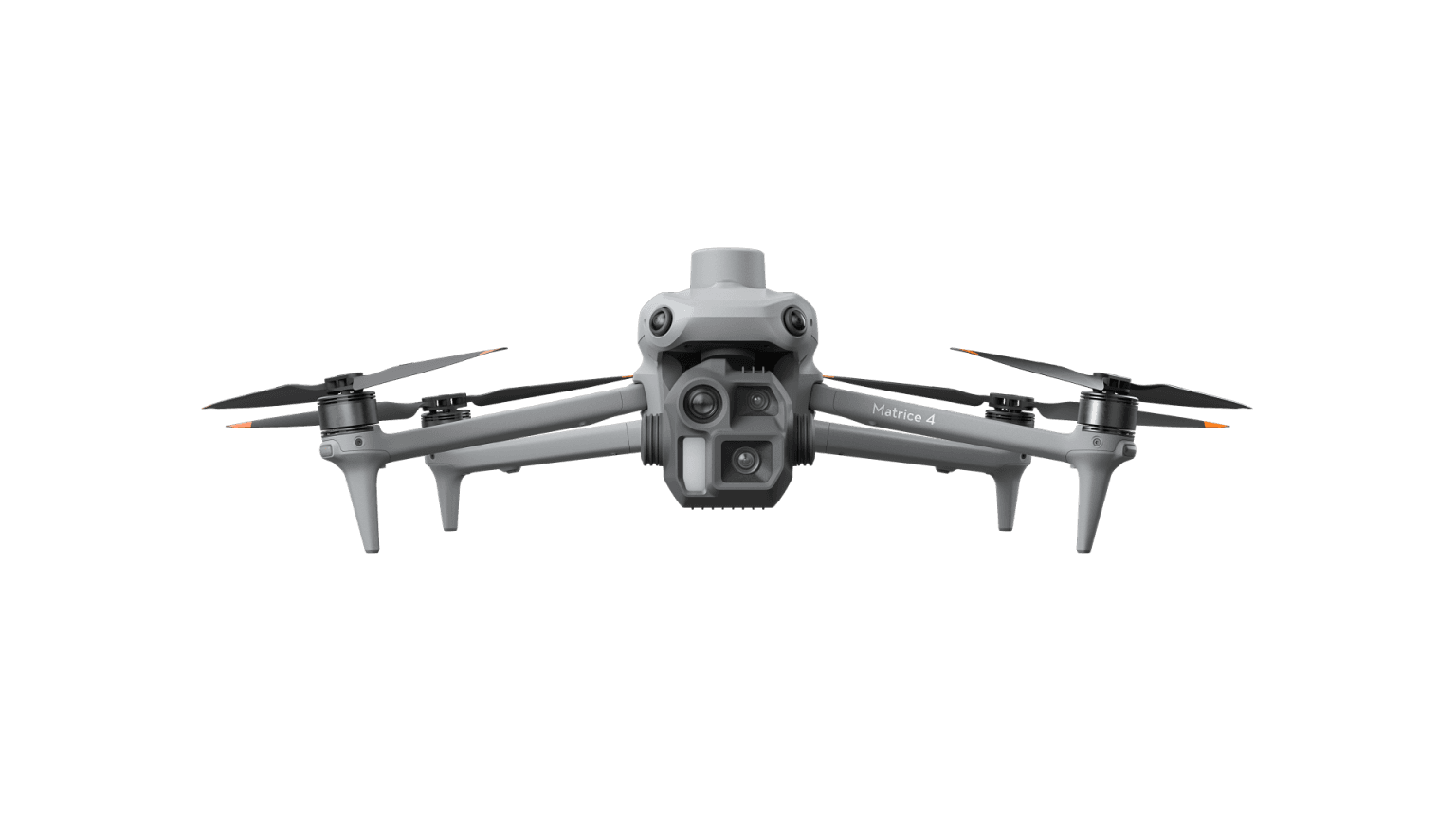
Flagship Intelligent Multi-Sensor Compact Drone
View detailsFlagship Intelligent Multi-Sensor Compact Drone
View detailsEngineered for Excellence, Designed for Versatility
View details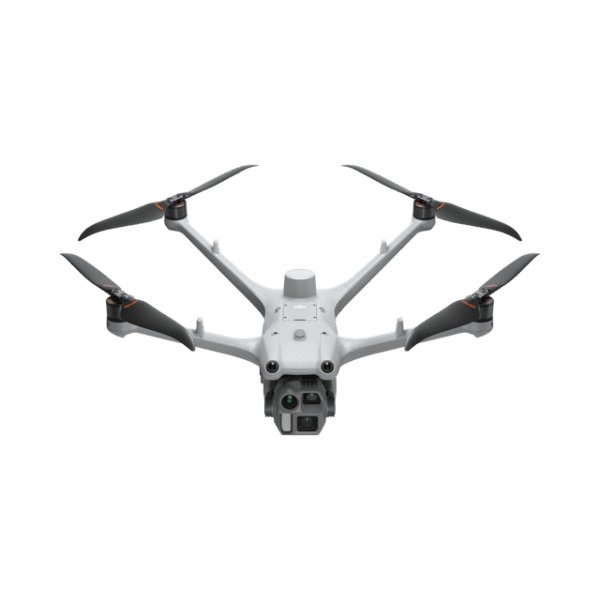
High-Performance Drones
View details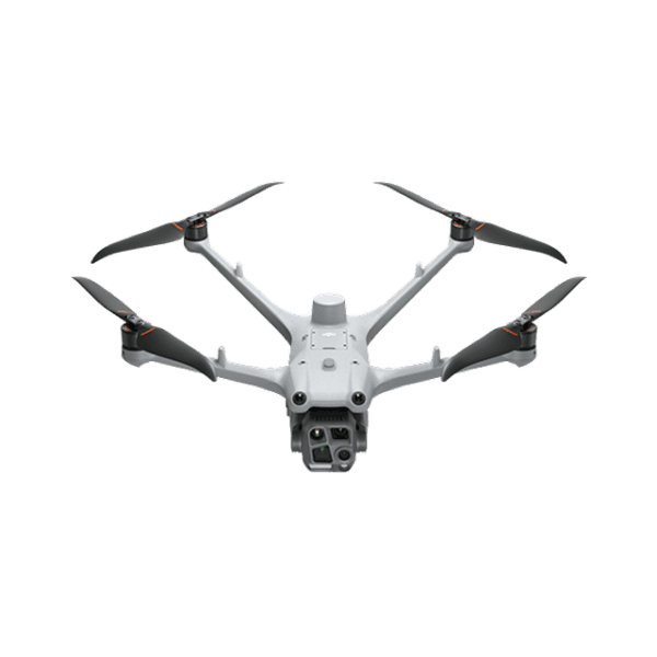
High-Performance Drones
View details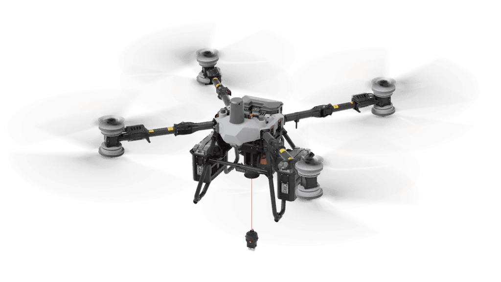
Achieve More Deliveries
View detailsPAYLOADS
Extend your DJI drone's capabilities with purpose-built cameras and sensing modules for surveying, thermal measurement, high-resolution imaging and rescue missions — delivering clarity and precision in every situation.
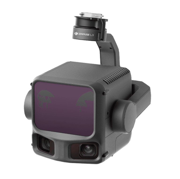
First Long-Range, High-Accuracy Aerial LiDAR System
View details
DJI's First Spotlight for Multi-Payload Drone Platforms
View details
DJI's First Speaker for Multi-Payload Drone Platforms
View details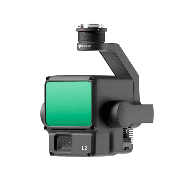
High-Precision Aerial LiDAR System
View details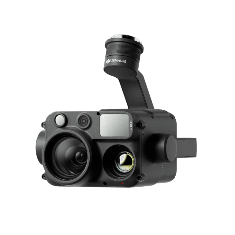
Flagship All-Weather Multi-Sensor Payload
View details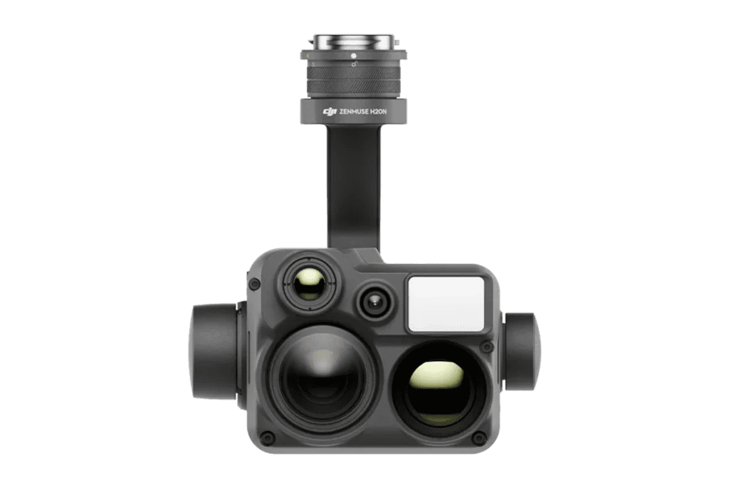
Vision Beyond Darkness
View details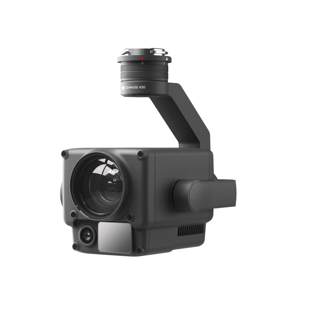
Unleash the Power of One
View details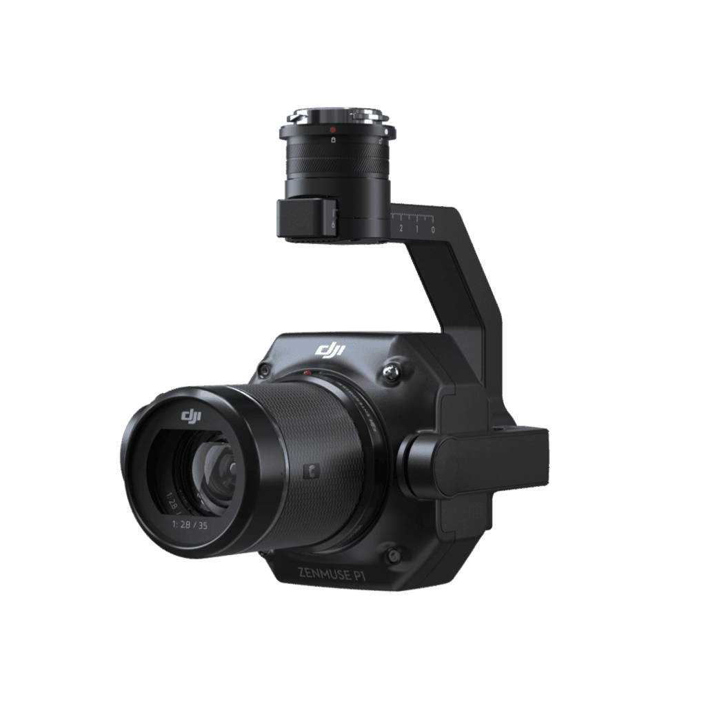
Efficiency through Flexible Full-frame Photogrammetry
View detailsREMOTE DRONE OPERATION SOLUTIONS
Take your operations further with DJI Dock for remote drone flights without an operator — automated launch, flight, data collection and charging, connected to FlightHub 2.
Our services
Helping your organization manage field operations more precisely, safely and efficiently with UAV technology and intelligent AI.
VTOL/UAV operations with specialized payloads for survey, surveillance and incident response.
Enterprise-grade GIS / mapping system for end-to-end geospatial data management.
High-resolution LiDAR 3D scanner for industrial survey, archaeology and construction.
A smart command center that combines UAV, AI and GIS data in one real-time view.
TRAINING
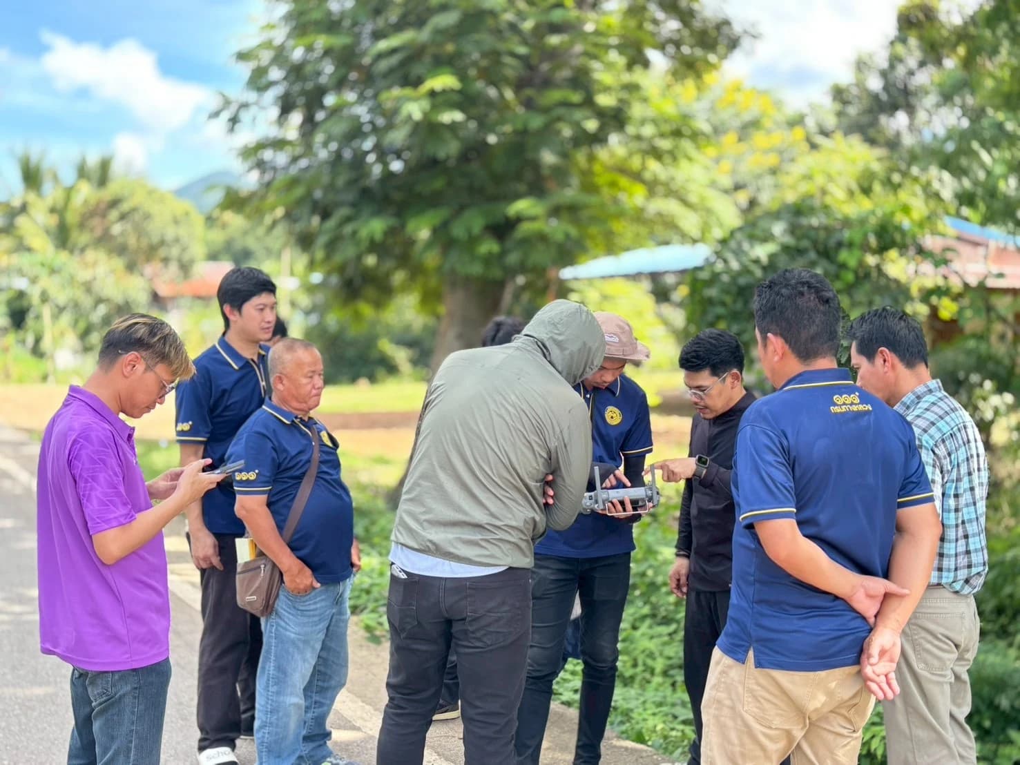
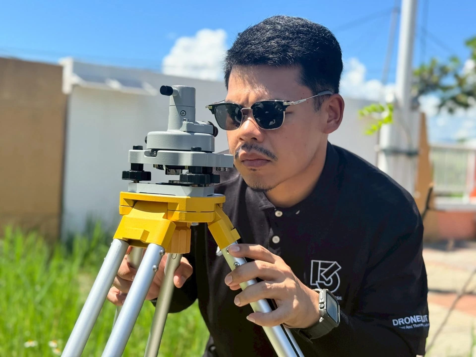
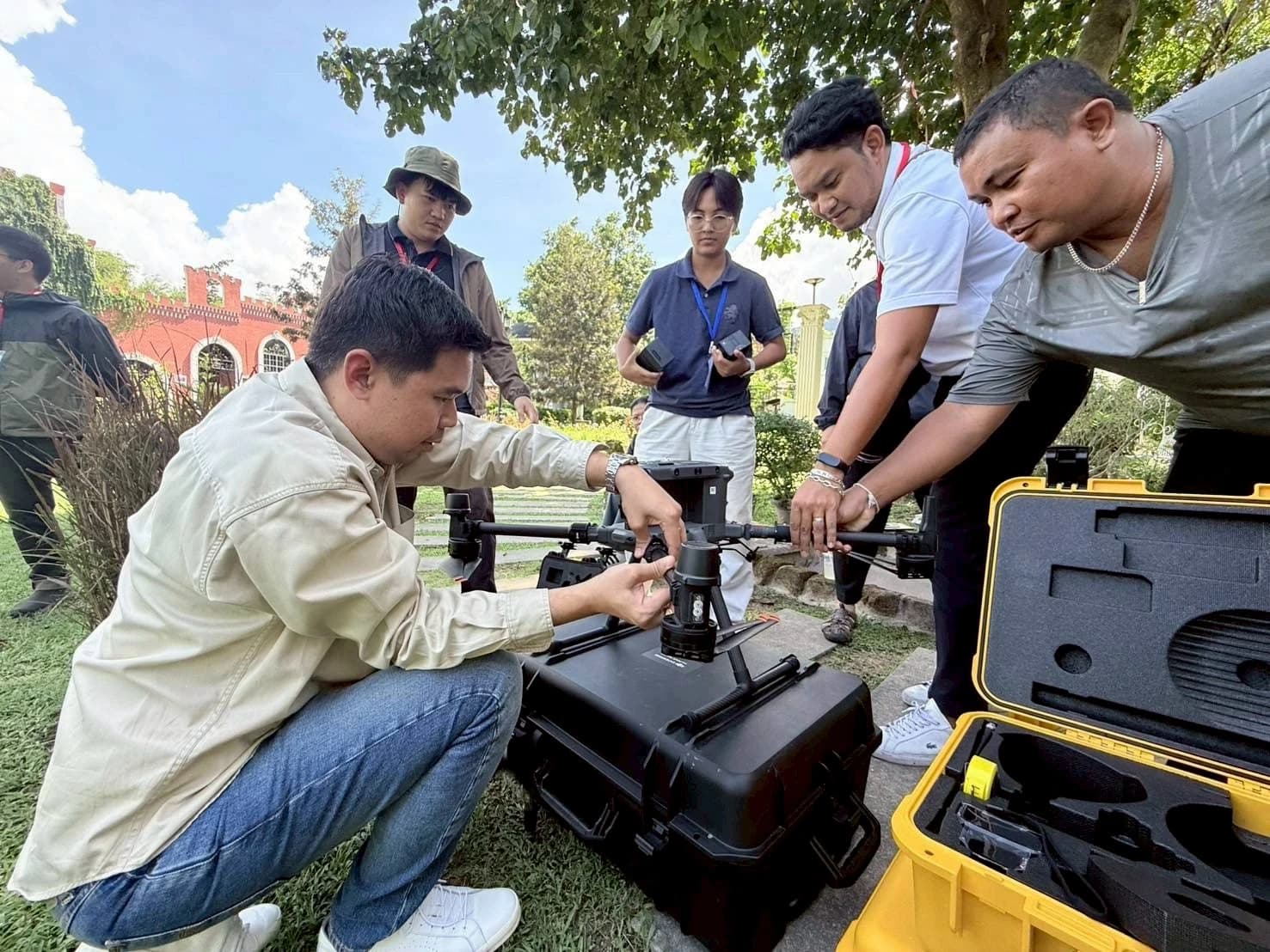
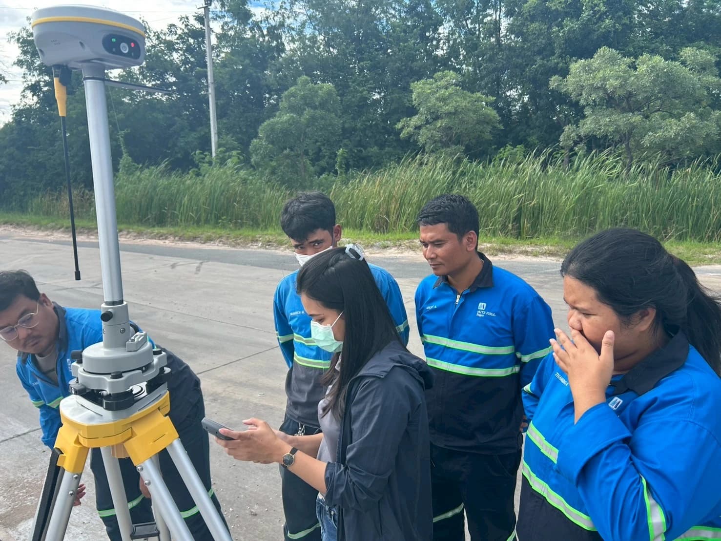
Learn to use each drone model thoroughly — from setup and flight control to real-world field techniques — taught by 13 STORE trainers with hands-on experience.
CUSTOMERS
Government agencies, private organizations and leading industries that trust us


EVENTS & ACTIVITIES
Trade shows, seminars, and product demos and handovers for our customers
Our consultants are ready for your brief — we analyze your needs, design the solution and reply with a quote within 24 hours.